 WordPress plugin
MapGeo – Interactive Geo Maps
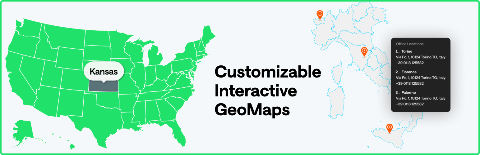
Create interactive vector maps of the world, continents, any country in the world and specific regions, including individual US state county maps.
★ 4.4 · 65 source ratings · v1.6.30A considered approach to websites, stores and content platforms.
Explore ServicesPractical craft for people building for the web.
Explore DevelopmentLearn something. Find a tool. Meet your next collaborator.
Practical ideas for your next build.
Find useful software and free utilities.
Meet makers and find expert help.
Finding your next read
The people building the open web
Useful work.
Out in the world.
A closer look at the WordPress projects, ideas and community behind @interactivegeomaps.
01 / A body of work
Public projects and source-backed details. A place to discover the work and follow it back to its home.
Install and rating summaries cover 1 available first-page project, not an estimate for the whole portfolio. Install counts are source-reported figures, not unique people.
Topics from the available project listings.
02 / The project library
Showing 1–1 of 1 plugins
WordPress pluginCreate interactive vector maps of the world, continents, any country in the world and specific regions, including individual US state county maps.
★ 4.4 · 65 source ratings · v1.6.30This independent directory portfolio is based on public WordPress.org listings. It is not a claimed account or verification of identity. For current details and support, follow the official links.